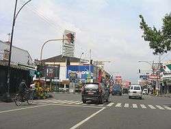
Purwokerto
Koordinatlar: 7°26′29″G 109°14′39.79″D / 7.44139°G 109.2443861°D
| Purwokerto | |||
| — Şehir — | |||
| Purwokerto şehri | |||
 |
|||
|
|||
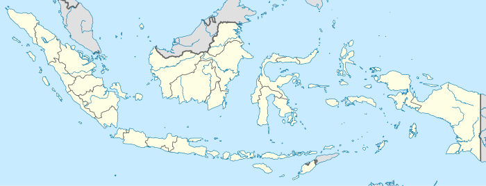 Purwokerto Tasikmalaya'nın Endonezya'daki konumu |
|||
| Koordinatlar: 7°26′29″G 109°14′39.79″D / 7.44139°G 109.2443861°D | |||
| Ülke | |||
|---|---|---|---|
| Eyalet | Orta Cava | ||
| Yönetim | |||
| - Belediye başkanı | Mohamad Muraz | ||
| Yüzölçümü | |||
| - Toplam | 426,95 km2 (164,8 mi2) | ||
| Nüfus (26 Kasım 2009[1]) | |||
| - Toplam | 223.951 | ||
| - Yoğunluk | 128/km² (331,5/sq mi) | ||
| Zaman dilimi | PZD (-8) | ||
| İnternet sitesi: sukabumikota.go.id | |||

Purwokerto, Endonezya'niın Orta Cava eyaletinde yer alan bir şehirdir.Şehrin nüfusu 26 Kasım 2009 tarihli nüfus sayımına göre 223,951'dir.
Kaynakça
- ↑ "Population Estimates". United States Census Bureau. http://www.census.gov/popest/data/cities/totals/2013/SUB-EST2013-3.html. Erişim tarihi: 2010-02-12.
This article is issued from Vikipedi - version of the 9/2/2016. The text is available under the Creative Commons Attribution/Share Alike but additional terms may apply for the media files.